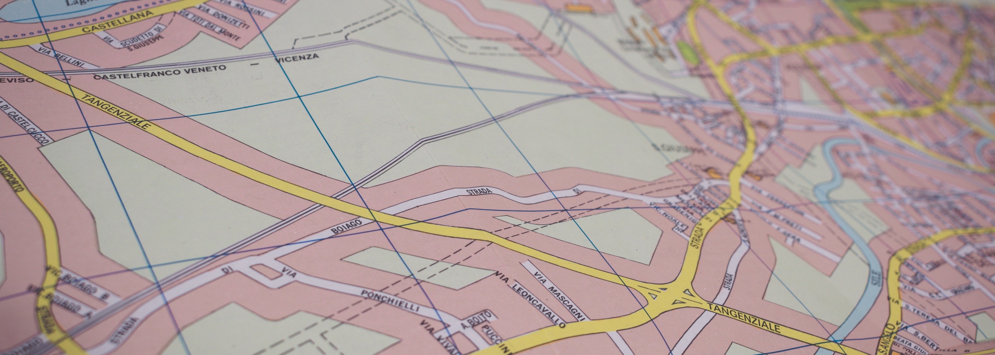
Mapping and Geographic Information System (GIS) Innovation Club

Club Lead: Dr Jonny Huck

The Mapping and GIS innovation club aims to meet monthly to allow staff and researchers to meet and network with people who have similar technology / research interests.

The purpose of Mapping and GIS club activity is to:

  • Present their research and discuss sticking points that the community may be able to help them with
  • Find new collaboration partners from across the University
  • Ask questions within the community so that members can share experience/ideas to save time
  • Share ideas on funding calls that are relevant to the community
  • Share equipment (if free) and resources
  • Discuss technology/methodology advances and provide advice on what to/not to buy
  • Advertise talks that may be of interest to the community & widen participation across campus.

For any queries or further information, please contact digitalfutures@manchester.ac.uk

If you are interested in this community, you may also be interested in Digital Futures’ Cities and Environment theme, which takes a broad multidisciplinary approach to addressing the challenges of digital technologies’ potential to transform cities, and the lives of those who live and work in them, including through sensor networks, data analytics and agile control systems, by helping us better understand, plan and manage them. Digital Futures is the University’s interdisciplinary network operating across the whole range of the University’s digital research.


Past Events

CaDiR / Innovation Clubs Showcase Event

The CaDiR / Innovation Clubs Showcase Event took place on 10th November 2021. Watch the video below for an overview of the Mapping & GIS Club and an overview of projects, facilities and potential collaboration opportunities between the club and Digital Futures themes.

Highlights from the May meeting:

The May meeting featured a talk from Dr Kofi Owusu titled “Building web-based GIS applications using open source software”. Kofi gave a detailed presentation on the way he has employed open source GIS software to develop a web-based portal from which industrial partners can access data collected from research data spanning the last 20 years. This dataset is very large and diverse and includes, for example: geological maps, seismic surveys, outcrop photographs, site surveys and logs, links to pdfs of publications within the project and images of rock samples. He demonstrated the evolution of the web-based portal and how it is accessed by industrial partners. The data is proprietary and not publicly available so he also discussed the methodology for generating secure access to this dataset on locally managed servers.

Discussion after the presentation focussed on the methodologies and open source software that he was currently using and suggesting alternative software and approaches that he may consider including in his work. The use of mapserver was suggested to the community as a good method for initially assessing GIS data.

The attendees were also asked for any pertinent information that they would like included on a survey of research interests and facilities available within the community. It was stated that it would be useful to have knowledge of the current methods by which people were hosting their GIS databases with respect to local and central servers. It is expected that this will prove useful to discuss the extent of the situation with IT, where it is hoped that if the current resources are pooled into one central location, software can have a single installation with individual accounts for access from across the University.

February community meeting

At the February meeting, the community discussed:

  • The Membership of the community
  • Current competitions and funding opportunities
  • Meeting, lectures and RLP workshops that may be of interest 

The majority of time was spent networking with colleagues to discuss collaboration opportunities. 

Slides presented at the meeting are available below.


The first Mapping and GIS Innovation Community meeting at The University of Manchester, 9 September 2019

We invited current users and interested researchers to a meeting to discuss the use Mapping and Geographic Information Systems (GIS) in research across the University. The idea of the community is to share experiences and common interests and discuss ways in which we can work together to better use available resources and generate a multi-disciplinary community that can collaborate internally to then apply for research funding collectively.

Over 30 participants from across the university expressed an interest in the meeting, 80% of which attended on the day with representatives from all three faculties and other departments. The meeting was structured to start with an ice-breaker lunch. This was followed by a brief introduction to the Research Lifecycle Programme from Emma Finch, followed by presentations and discussion.

You can visit our Podcast of the event to catch up on the presentations and discussion (presentation timings are in brackets).

  • Opening Address (0:00 – 13:48)
    Emma Finch (RLP)
  • GIS and the Spatial Humanities (13:49 – 24:26)
    Joanna Taylor, School of Arts, Languages and Culture
  • Nearly 30 years of ‘doing’ GIS: from the command line to the GUI and back again (24:27 – 38:14)
    Richard Kingston, School of Environment, Education and Development
  • An introduction to the Mapping: Culture and GIScience Research Group (38:15 – 41:25)
    Anna Molter, School of Environment, Education and Development
  • Building a Spatial Data Infrastructure Utilising Open Geo-Spatial Consortium Standards (41:26 – 52:31)
    Kamie Kitmitto, Research IT

After the presentations, attendees discussed questions and thoughts on ways to make the community thrive. This can be listened to on the podcast (52:32 onwards).